Fleet Week 2021 Air Show (Photos and Timelapse) #timelapse#fleetweek#sanfrancisco#ggb#video Photos and timelapse video (4k) from the San Francisco 2021 Fleet Week Air Show.
Updated on Saturday, February 19, 2022
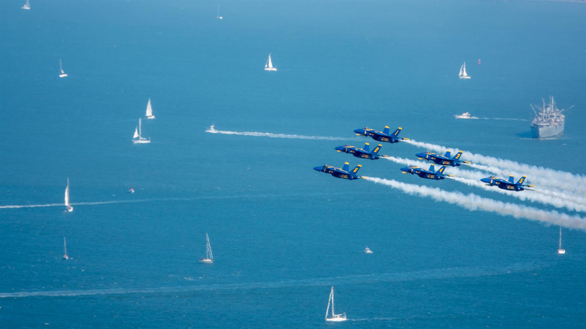
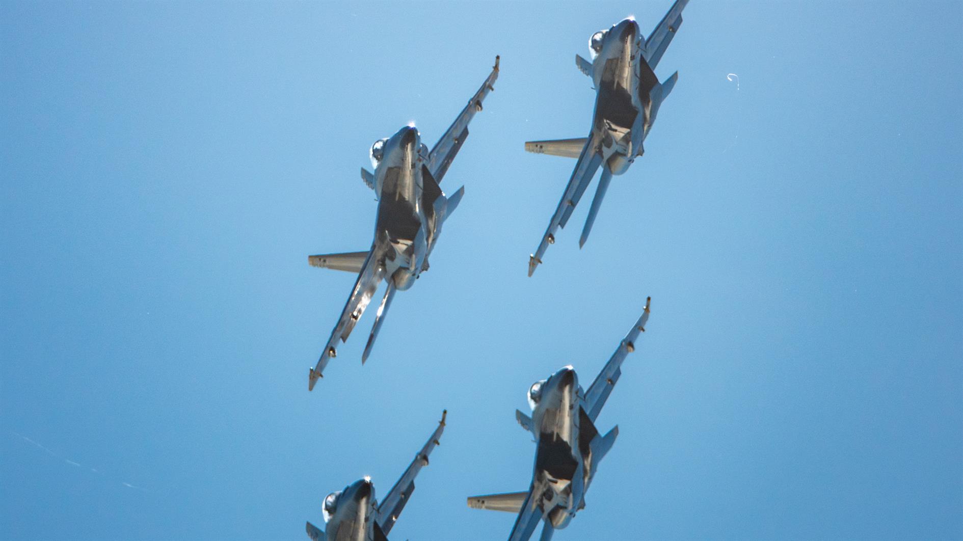
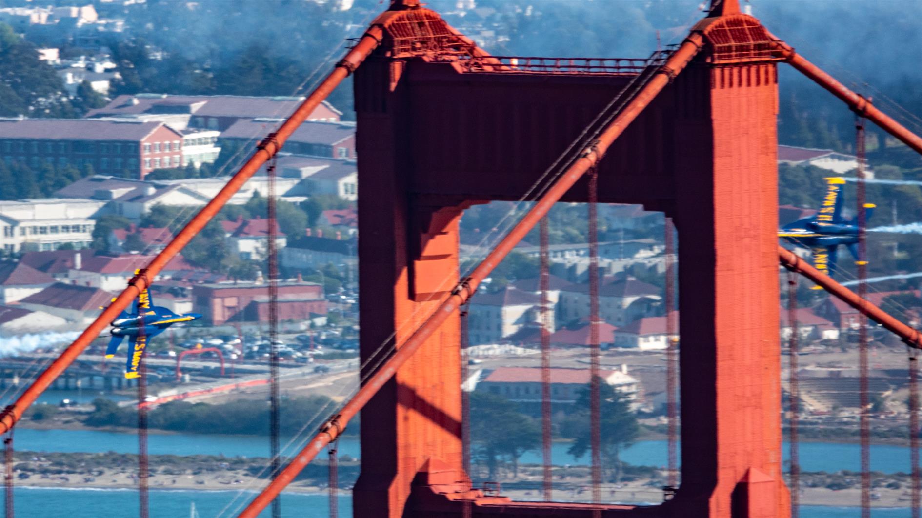
Blue Angels at the San Francisco 2021 Fleet Week Air Show.
Here's a timelapse video of the United 777, Fat Albert and the full Blue Angels performance, shot from Slacker Hill in the Marin Headlands:
I have previously described Twin Peaks as not much of a hike, which is absolutely true if you drive there. When I first moved to San Francisco I lived in Noe Valley and used to cycle up to Twin Peaks and then try to get home without pedalling. For many years after that I'd take visitors up to the top and developed a somewhat weird tradition of taking each new child there soon after they were released from the hospital.
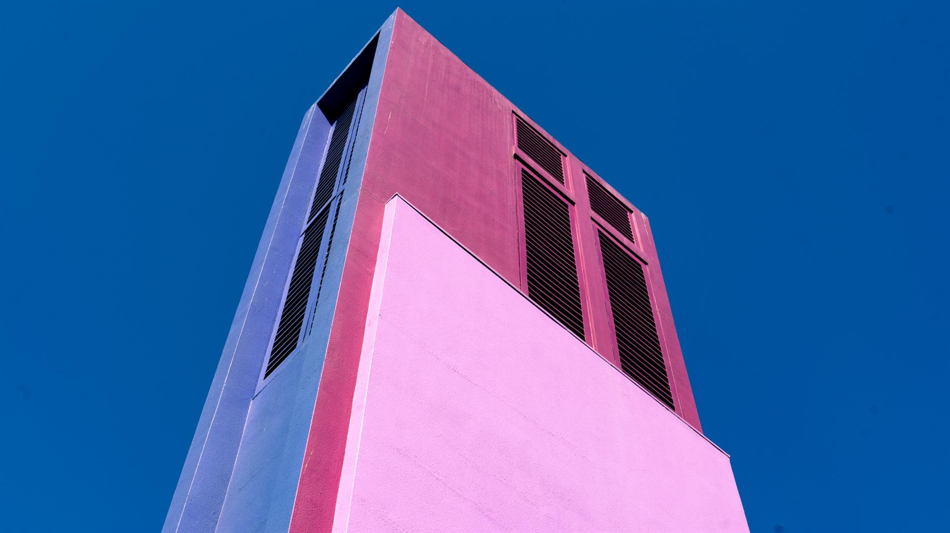
Post lockdown I'm up there most weeks. This is my five mile loop which starts heading up Ulloa from West Portal to Portola. Portola breaks the climb briefly as you pass the striking herchurch and controversial Twin Peaks gas station before heading up Twin Peaks Boulevard to the 922 foot summits. For a while Twin Peaks Boulevard was entirely closed to traffic (although you really had to keep an eye out for high speed skateboarders). Unfortunately it's now open all the way to Christmas Tree Point. Head down the north side to Clarendon and follow this all the way down to Forest Hill and then back to West Portal.
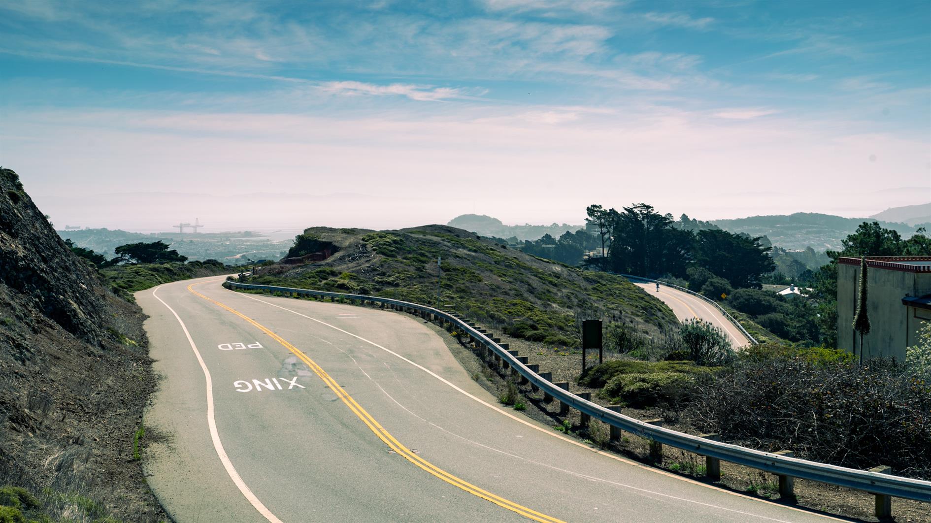
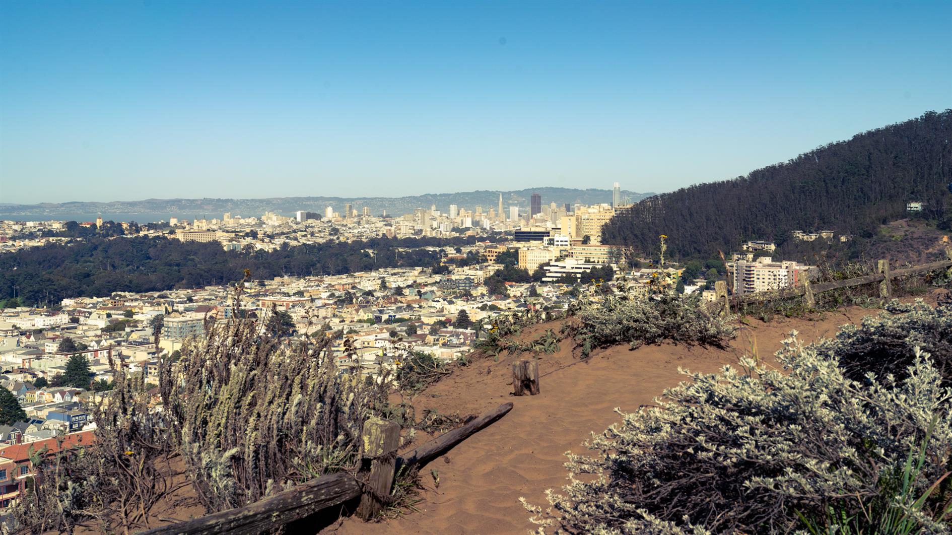
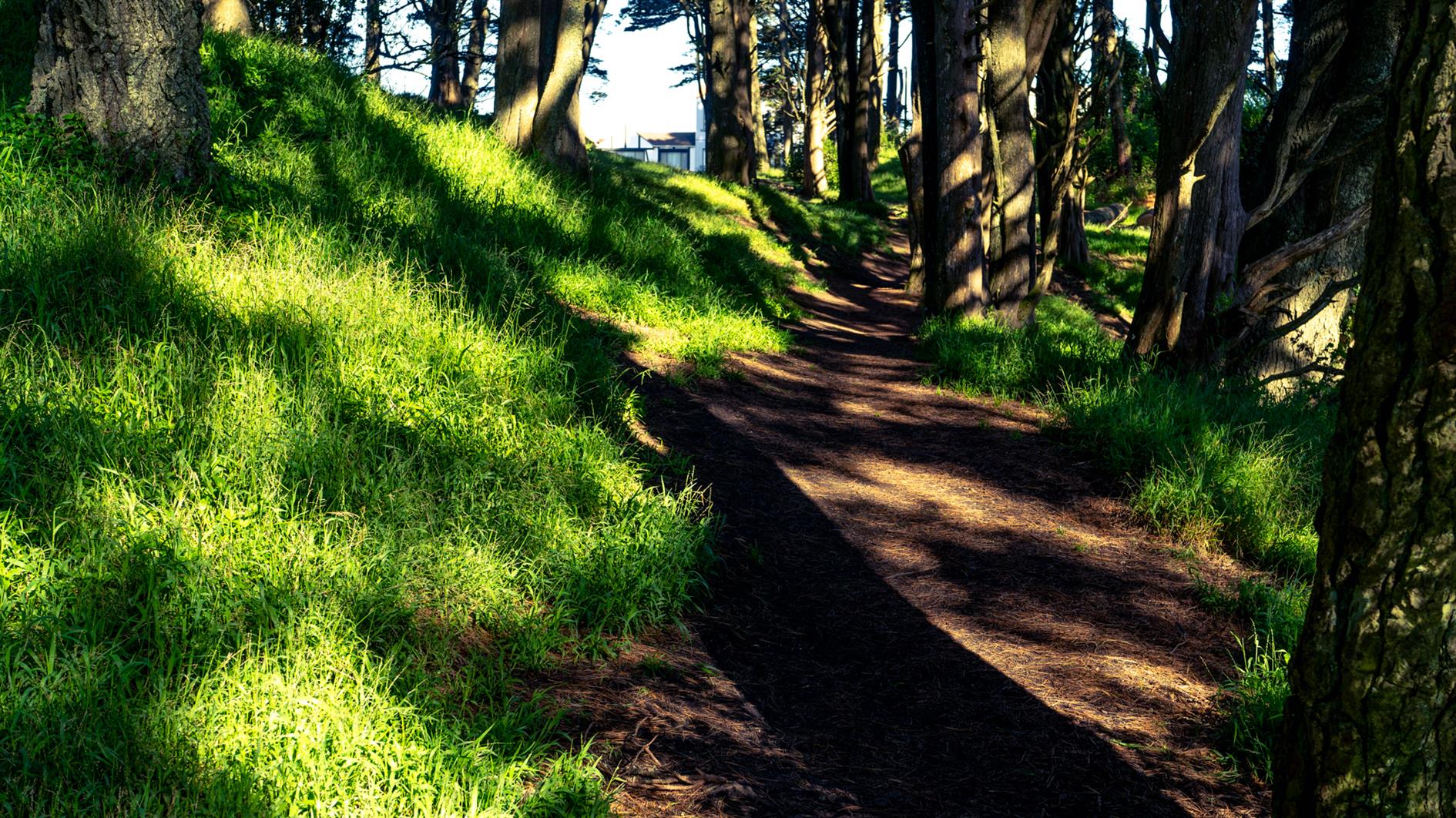
Remnants in the Sunset #hike#sanfrancisco#coronavirus#map Three mile loop hike visiting the Remnants in the Sunset: Grandview Park, Rocky Outcrop Park, Golden Gate Heights Park and Hawk Hill in San Francisco, California.
During the pandemic induced lockdowns last year we started hiking locally using random trails generated by Routeshuffle. Sometimes these were repetitive death marches along indistinguishable avenues (my kids would say 100% of the time). A few have emerged as favorites that I walk regularly and I'm going to add these to the ITHCWY hike collection.
Remnants in the Sunset is a three mile loop named for the islands of rock and dunes visited along the way. The west of San Francisco used to be all dunes and these parks are now all that remains of that original ecosystem.
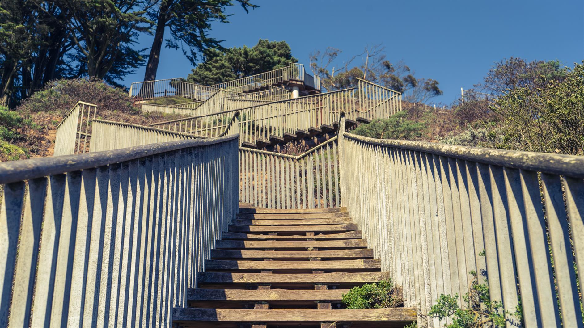
Walk up 15th Avenue from Taraval to Grandview Park. Go up the steps, admire the view and then down the other side and follow 14th Avenue to Rocky Outcrop Park. This is a wind tunnel with houses on one side and cliffs on the other. Then head up to Golden Gate Heights Park and Larsen Peak at 755 feet. The return leg down Pacheco and Magellan provides views of Hawk Hill which has some unofficial trails but is closed to the public.
(Published to the Fediverse as:
Remnants in the Sunset #hike#sanfrancisco#coronavirus#map Three mile loop hike visiting the Remnants in the Sunset: Grandview Park, Rocky Outcrop Park, Golden Gate Heights Park and Hawk Hill in San Francisco, California.)
In one of the cases, filed Sept. 4, plaintiff Maria Infante seeks $50 million and class-action status after a San Francisco parking enforcement officer wielding chalk on a residential street gave her a $95 ticket.
The second case, filed the same day against San Leandro, demands $5 million for class members whose tires were chalked to financially benefit the city.
Civilization continues to collapse. I had my tongue in my cheek for this proposed constitutional amendment but I'm not so sure any more...
Sand on Great Highway #photo#sanfrancisco Should the great highway in San Francisco reopen to traffic? It could be moot if the sand continues to build up. Photo of sand starting to cover the great highway.
Google Pixel 4 XL 4mm f1.7 1/3,900s ISO55
There is some controversy at the moment over the great highway in San Francisco. Should it stay closed to traffic as the pandemic eases? I enjoy walking and cycling here without cars, but it must be a pain to live nearby with all that traffic shifted to residential streets. It might be moot if the sand keeps flowing inland...
(Published to the Fediverse as:
Sand on Great Highway #photo#sanfrancisco Should the great highway in San Francisco reopen to traffic? It could be moot if the sand continues to build up. Photo of sand starting to cover the great highway.)
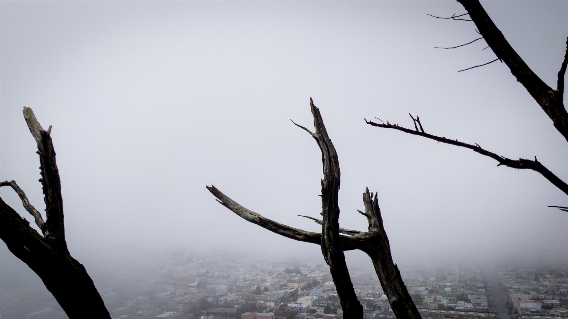
San Francisco from Twin Peaks #photo#sanfrancisco#twinpeaks Downtown San Francisco, including Market Street to the ferry building, shot from Twin Peaks.
Google Pixel 4 XL 6mm f2.4 1/1,400s ISO40
Photo of downtown San Francisco including a view down Market Street to the ferry building shot from Twin Peaks.
(Published to the Fediverse as:
San Francisco from Twin Peaks #photo#sanfrancisco#twinpeaks Downtown San Francisco, including Market Street to the ferry building, shot from Twin Peaks.)
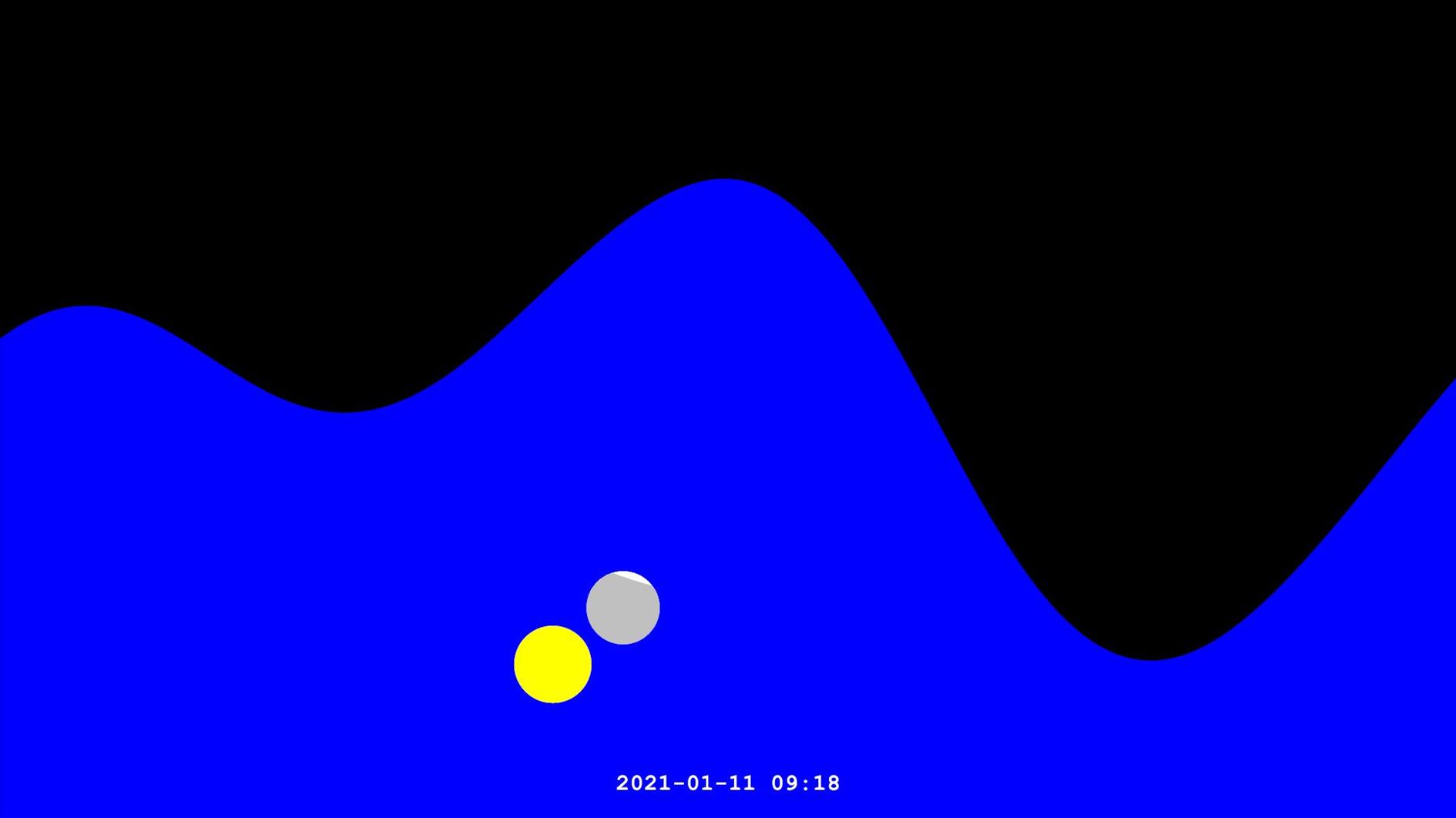
One Year of Tides Animated (with Sun and Moon) #etc#tides#sun#moon#sanfrancisco#video Animation showing four influences on the tide - the position of the sun and moon, and the distance of the sun and moon from the earth. Illustrates tide height and sun/moon position and distance as seen from San Francisco, California.
Updated on Saturday, February 19, 2022
This animation shows a year of tides in San Francisco with the sun and moon:
I was inspired to create this after adding a tide forecast to a personal weather dashboard I have running on an old Surface Pro. I realized I didn't understand tides that much. I still don't, but I know more than I did before.
The animation illustrates four components of the tide. The obvious ones are the position of the sun and moon. When the moon is new or full the Earth, sun and moon are all lined up leading to larger 'spring' tides, which happen twice a month just like spring doesn't. As the moon waxes or wanes and becomes half full the moon and sun are at right angles and partially cancel each other out resulting in lower highs and higher lows. This is the neap tide, almost as unhelpful as 'spring'.
As orbits are not circles the Earth is closer or further away from the sun over the course of a year and the moon behaves the same way. When it's close than usual we get super moons and king tides (finally a type of tide that does what it sounds like). In the animation the sun and moon actually grow and shrink in proportion to their distance from Earth.
Here's how to read the animation. The date and time at the bottom of the screen refers to the tide right in the middle. The full screen shows the forecast running from 12 hours before the current time to 12 hours later. The vertical range is from -4 feet to 10 feet, relative to mean lower low water (MLLW), the average lowest tide over 19 years. The sun and moon are on a different scale - 360 degrees horizontally and 90 degrees vertically.
The tide forecast is pulled from the NOAA Tides and Currents API. I used SunCalc-Net for the position of the sun and moon, and the phase of and distance to the moon. For the distance to the sun I used a formula I found on StackExchange.
I wanted to both fit in a full year and run slowly enough to see what's going on each month so the video is around 20 minutes long. I won't be offended if you don't finish it.
(Published to the Fediverse as:
One Year of Tides Animated (with Sun and Moon) #etc#tides#sun#moon#sanfrancisco#video Animation showing four influences on the tide - the position of the sun and moon, and the distance of the sun and moon from the earth. Illustrates tide height and sun/moon position and distance as seen from San Francisco, California.)
(Published to the Fediverse as:
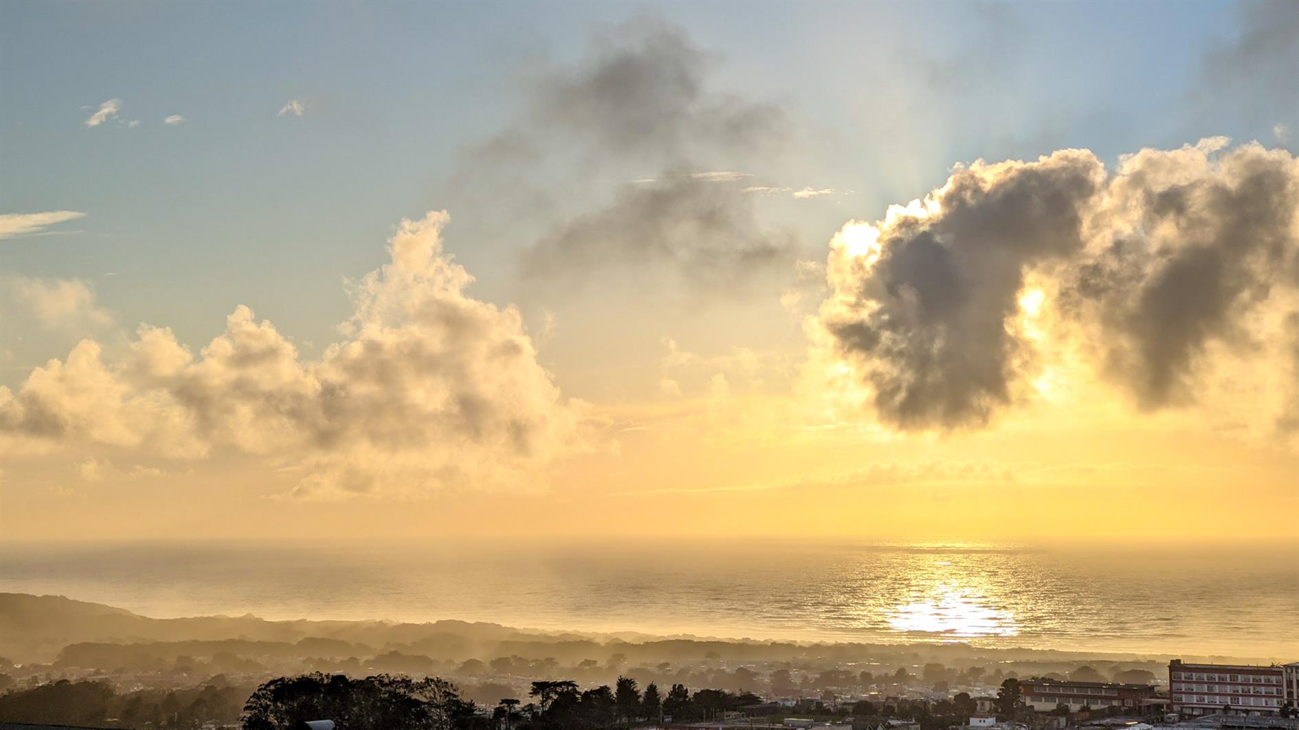
Post Storm Sunset #photo#sanfrancisco#sunset Photo of a dramatic sunset after a winter storm from Grand View park in San Francisco, California.)